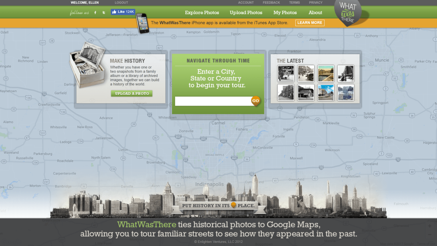
I love the “street view” feature on Google Maps. It helps me know what I can expect to see when I visit a new place. Sometimes I wish I could do the same thing for my ancestors’ hometowns. I wish could find their house on a map and walk down the street in their shoes. Thanks to the website What Was There, you can do just that!
What Was There is a little-known website that allows users to overlay photographs on to Google Maps street view to show how places used to look. You can browse the website to see what historic photos others have contributed, but my favorite thing to do is to add my own photos. I love knowing that all the old photos that have been passed down to me could be useful and interesting to others!
In today’s post I am going to walk you through the upload process so you can share your own photos on the site.
1. Make an account. Visit www.whatwasthere.com to sign up for a free account.
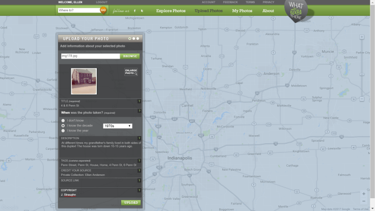
 2. Select a photo to upload. From the homepage, click on “Upload Photos.” Browse your computer files and find the photo you want to upload. I am going to use this photo of my great-grandparents’ house in Penns Grove, NJ in the 1970s. It was taken during the time that my great-uncle and grandfather were moving their mother out of the family’s home and into an apartment. The duplex was torn down sometime after 2012, so I’m glad I can preserve what it looked like.
3. Fill out the metadata. Provide a title, date, description, tags (keywords others might search to find your photo), and the source (be considerate of copyright and only upload photos you have rights to use). Be descriptive and provide any other information you can about the place your photo depicts. (You might notice an error in my description, I said it was torn down “10-15 years ago, but I later corrected it to “after Oct 2012”.)
4. Place it on the map. WhatWasThere will help you search for the location and orient the perspective with the map. At this stage you are only dropping a pin on the map, so just make your best guess.

5. Align with Street View. Use the “Fade” slider to check how well your photo lines up with the street view. You can use the street arrows to see if moving along the street slightly gets you a better perspective. You can also click and drag the view around the screen to get the angle you want. Of course, Google Maps takes photos from the middle of the street, so photos taken from sidewalks and yards will never line up perfectly. Just do your best to position the photo over the Google Maps image.


6. Check out your work! Click on Explore Photos and navigate the map to the area you placed your photo to see it pop up as a pin on the map! Now others can see what the place looked like in times gone by.

If you are interested in hearing more about What Was There, check out the January 2014 episode of the Family Tree Magazine Podcast where Lisa Louise Cooke interviews Laurel Erickson, founder of the site.
Have you ever used What Was There? Tell us what you uploaded or what you discovered there in the comments below!
Screenshots used with permission from WhatWasThere.com.

Leave a comment